
Sale!

Antique Map GB and France 1890’s
$ 41.12
Two antique historical maps of the British Island and France. The map is in very good condition for age, very clear and vibrant with good margins for framing, paper will show light ageing. Map of New Zealand on the reverse. Small paper separation at edge on top away from map area. The map was originally published as part of Collins Complete Atlas and Gazetteer of the World published in the late 1890’s. Population data from the gazetteer would date the maps circa 1895 to 1897 period. The map measures 23 by 30 cm’s with the overall paper size of 27 by 34 cm’s
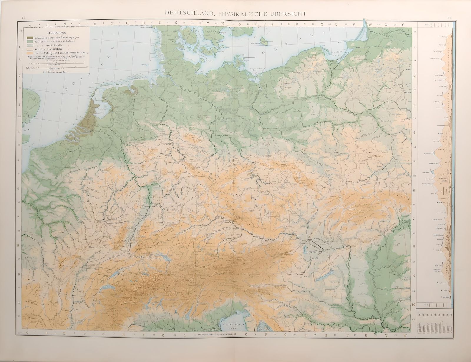 1887 Antique Map Germany Physical Overview
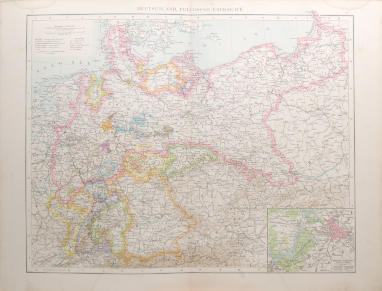 1887 Antique Map Germany Political Overview
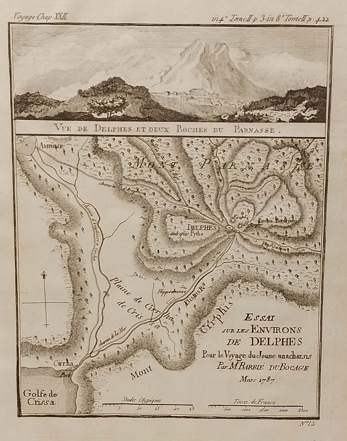 Environs de Delphes Greece Map 1790
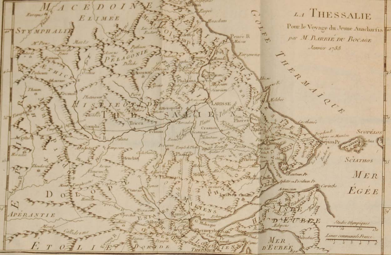 La Thessalie Ancient Greece Map 1790
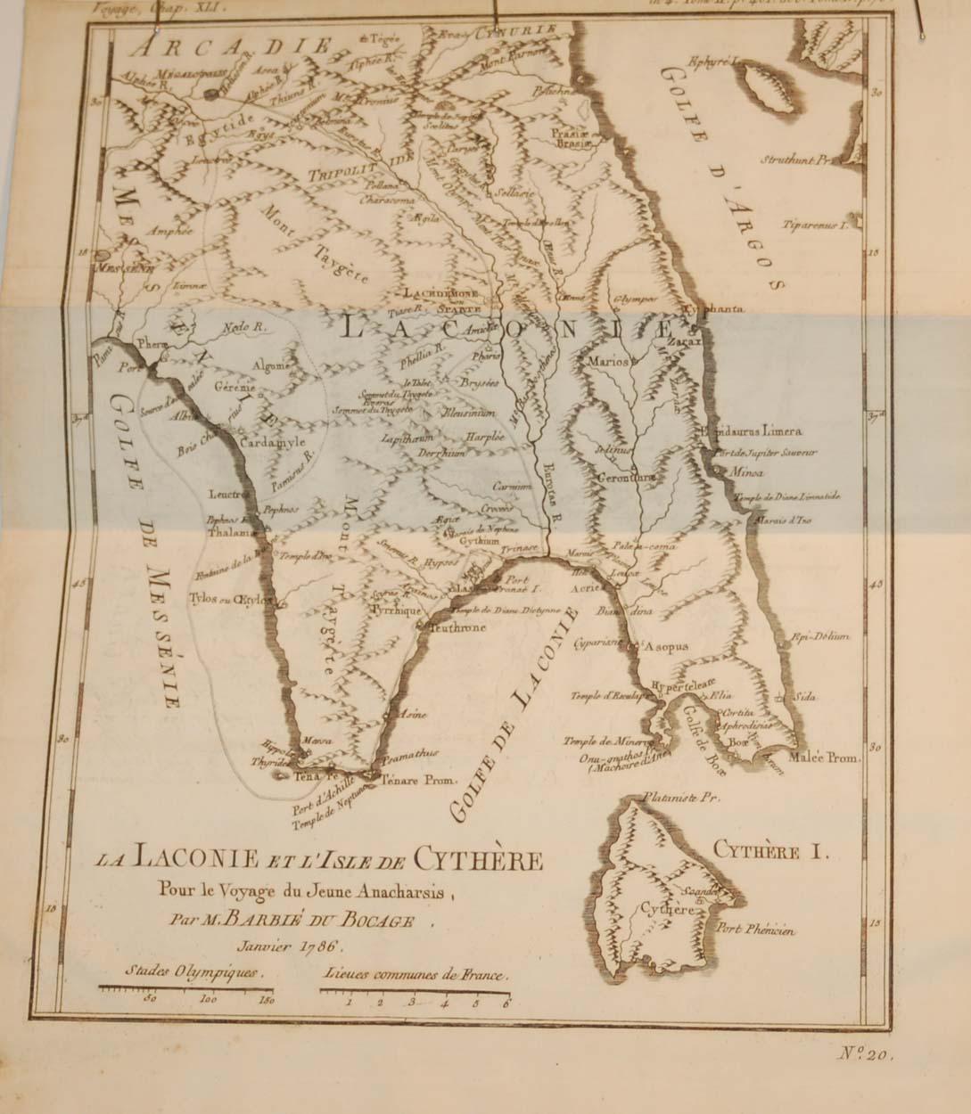 La Laconie et l’isle de Cythére Map 1790
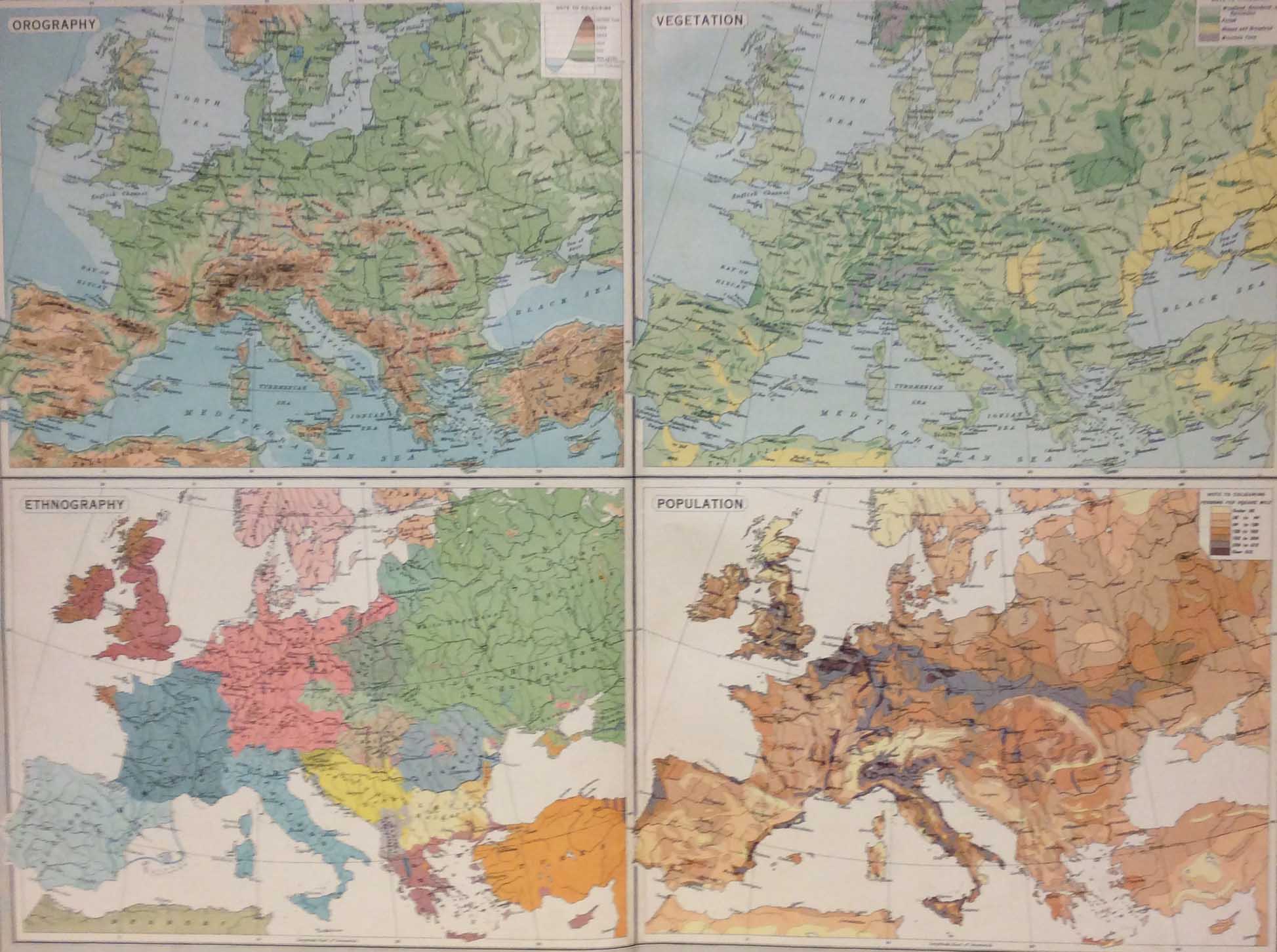 Europe Physical Features Population 1922 Vintage Map