
Sale!
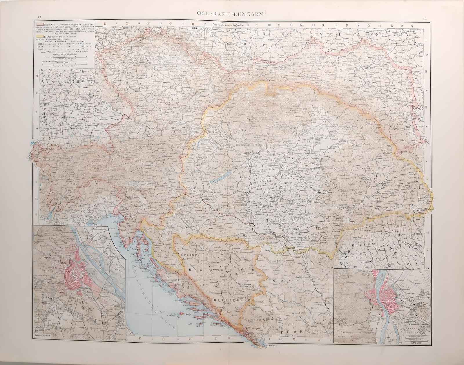
1887 Antique Map Austria Hungary
$ 46.32
Antique map titled Austria Hungary on map Europa Osterreich Ungar. The map also has two smaller city maps in lower corners, one of Vienna and one of Budapest. The map was originally published in 1887 as part of Andrees Allgemeiner Handatlas by Verlag von Velhagan and Klasing in Leipzig in Germany. The atlas was named after Richard Andre and was known for the quality of the maps and the printing technique they used, chromolithography. The 1887 edition was the 2nd release of the atlas. The maps is printed on card and is 42 by 55 cm’s with good margins for framing, map is a folding map with a centre line, these maps have a spine on the back which should be kept intact when framing, there are two other maps on the reverse. Map is in very good condition for age, markings on paper, please see picture.
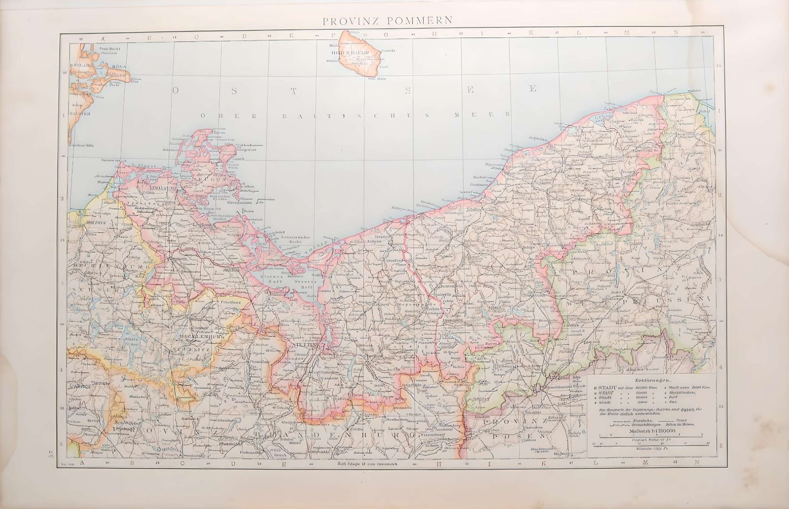
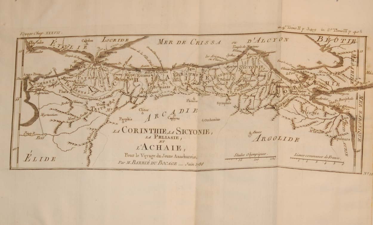 La Corintheie la Sicyonie La Philiasie et L’Achaie
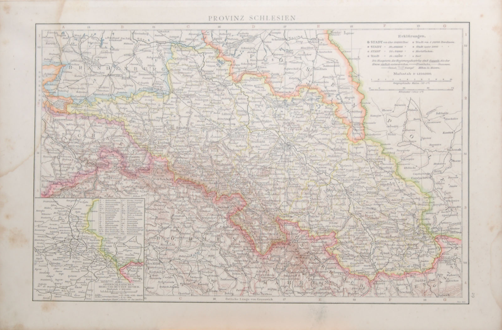 1887 Antique Map Province of Schlesien
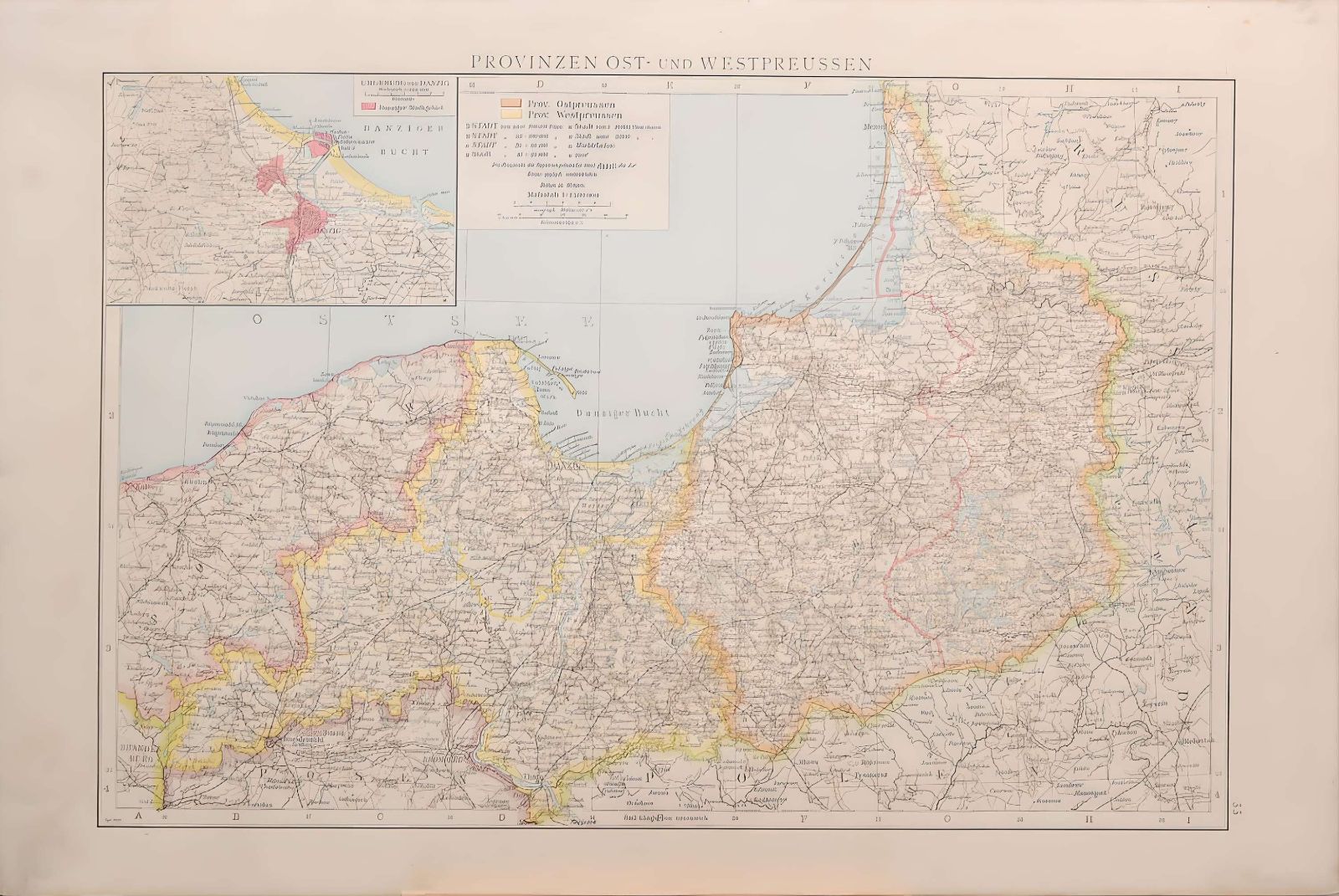 1887 Antique Map Province of West Prussia
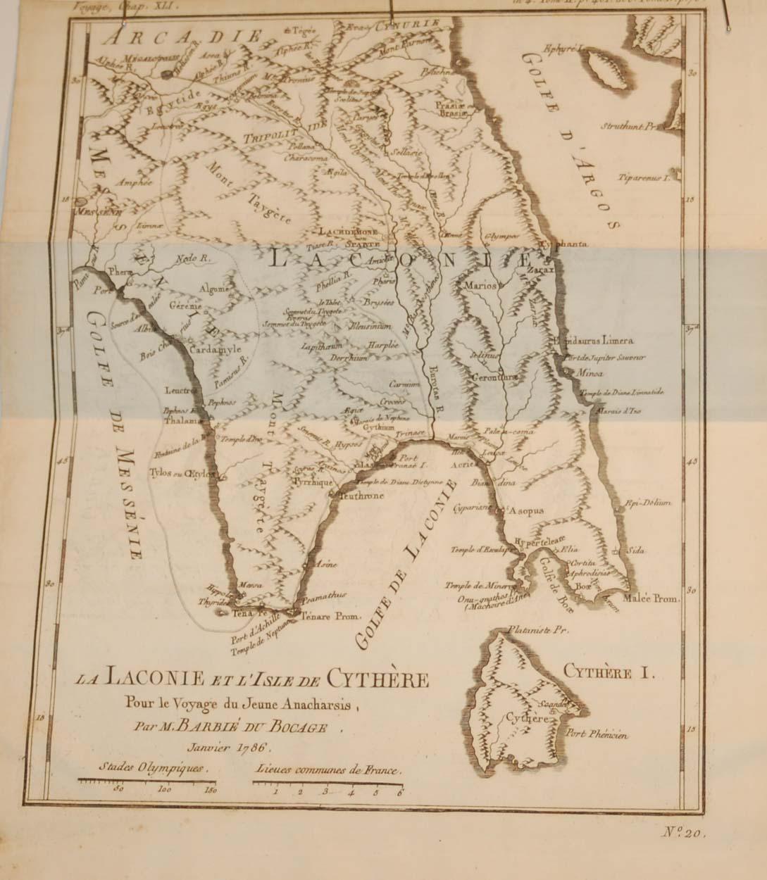 La Laconie et l’isle de Cythére Map 1790
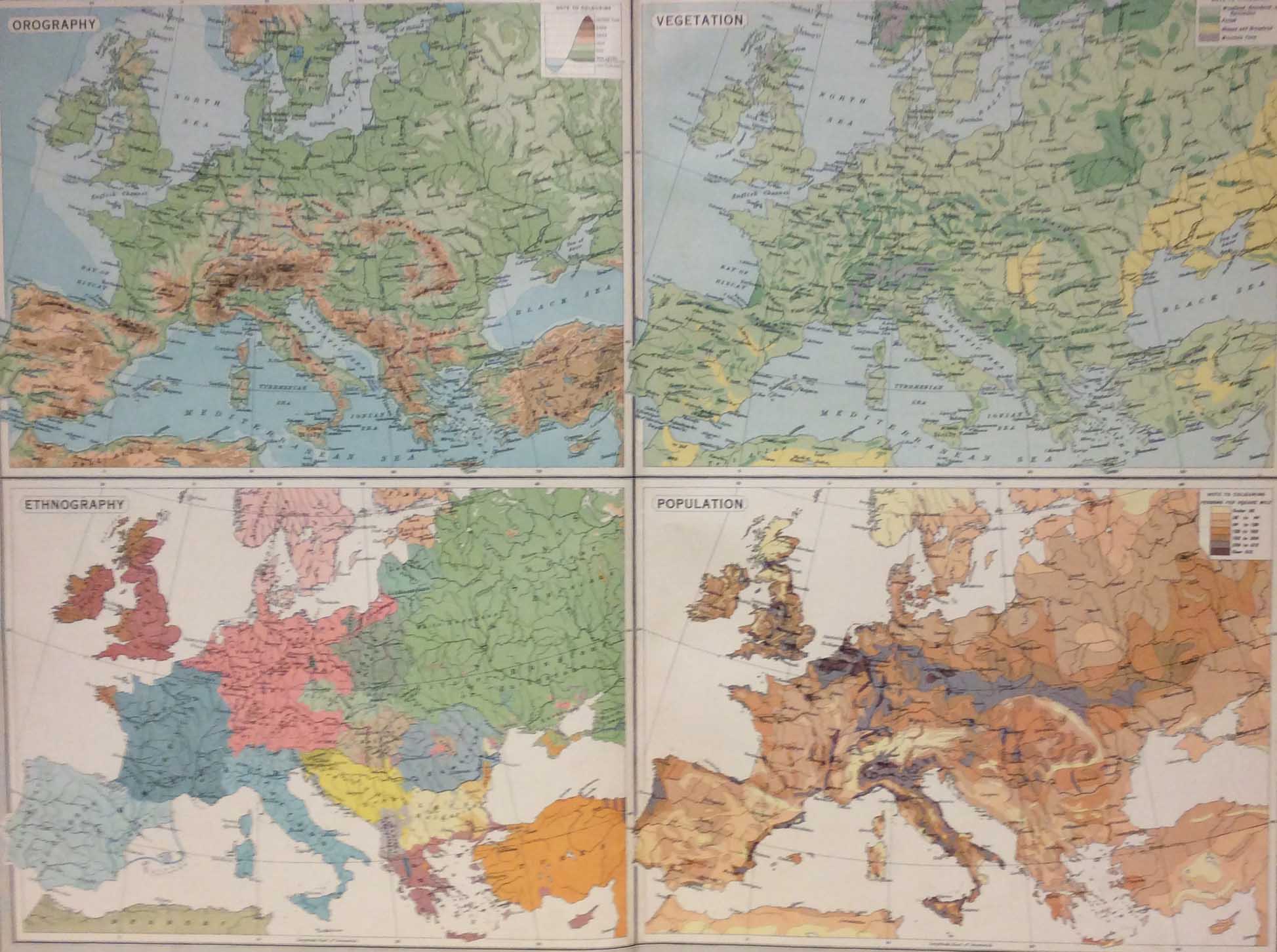 Europe Physical Features Population 1922 Vintage Map
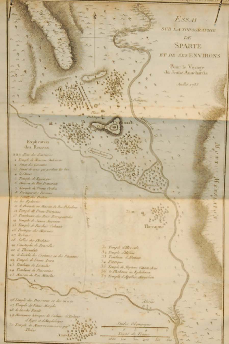 Sparta Ancient Greece Antique Map 1790