
Sale!

The World in Hemispheres Map 1907
$ 36.02
Antique Map from 1907 titled the World in Hemispheres Physical. The map is a world map with two smaller maps at the bottom, showing land and water. The map itself was printed by George Philips and the London Geographical Institute and was originally part of a larger atlas printed by the Amalgamated Press in London in 1907. The map is 20 by 15 inches, in very good condition for its age, very bright colours. Map was released originally as a fold out map, centre fold line present, please see pictures. These type of maps have a spine on the back which should be left intact when framing. The map is suitable for framing.
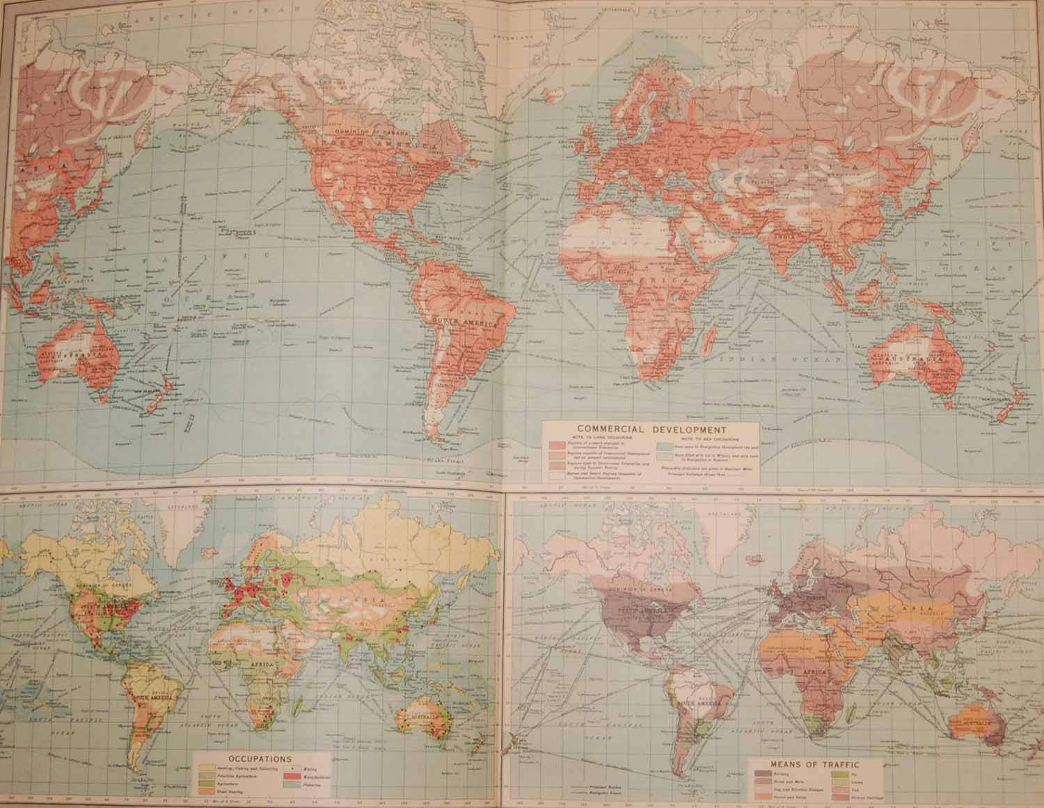
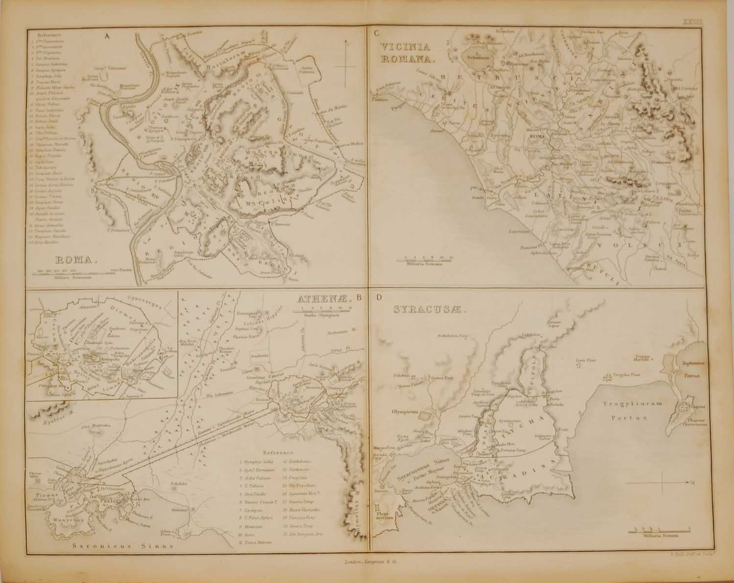
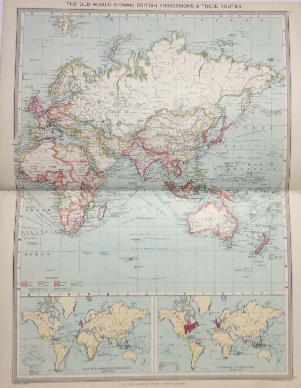
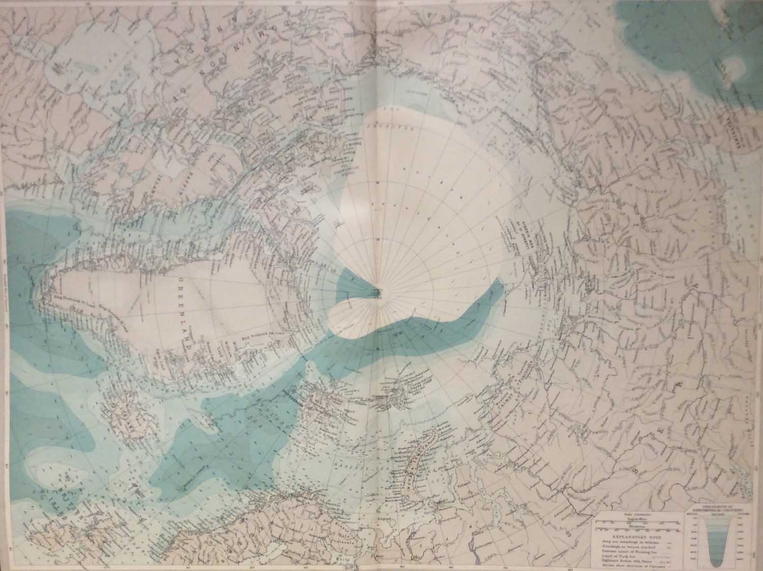
 Antique Map World Vegetation circa 1900
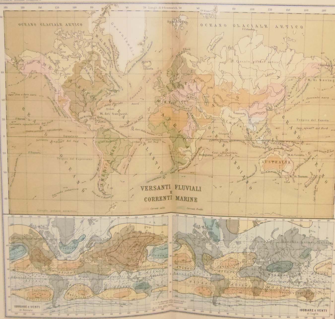 Antique Map World Marine Currents circa 1900
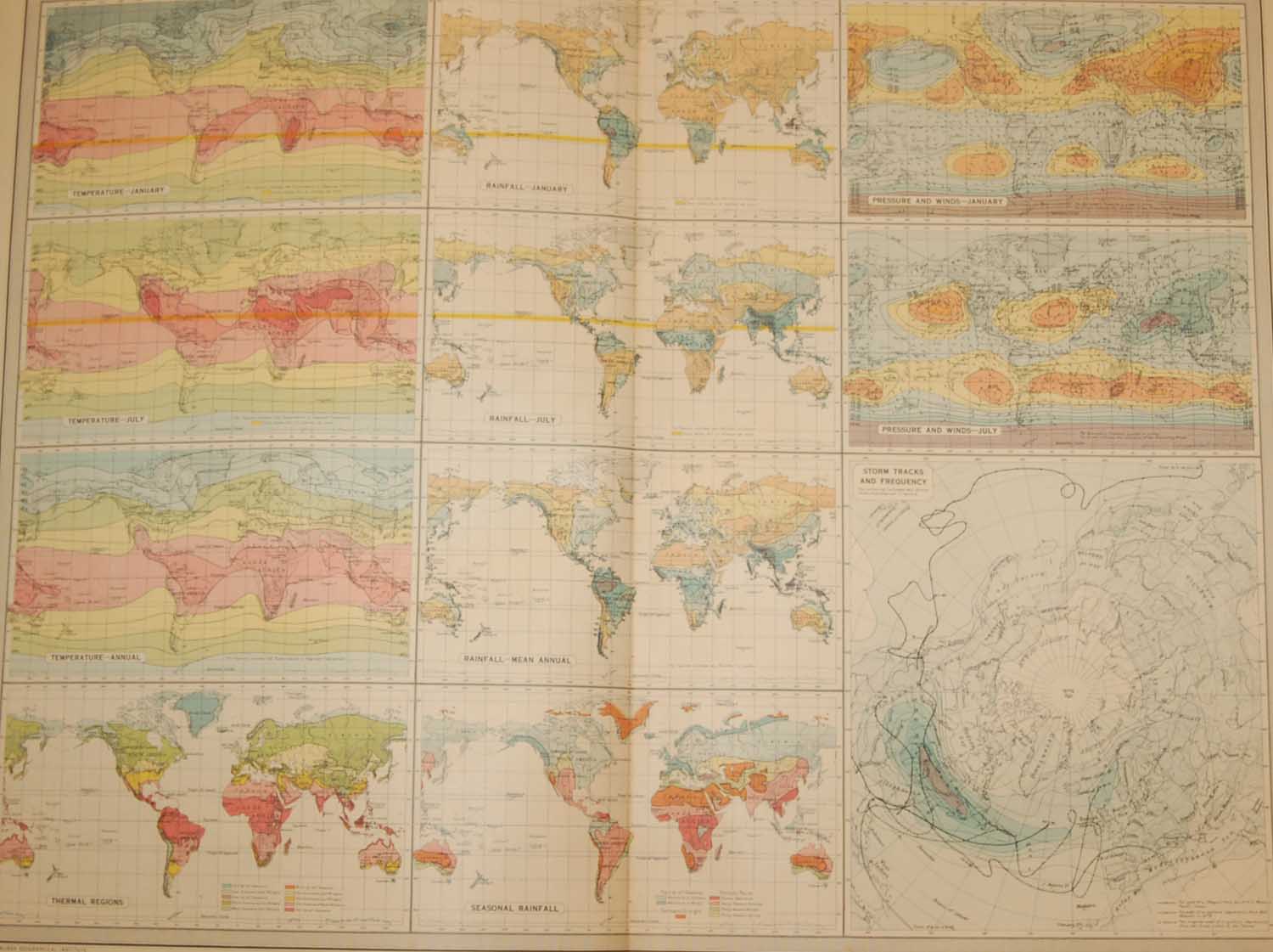 World Climate Map 1922
 1887 Antique Map Map of World Transport & Ocean Currents
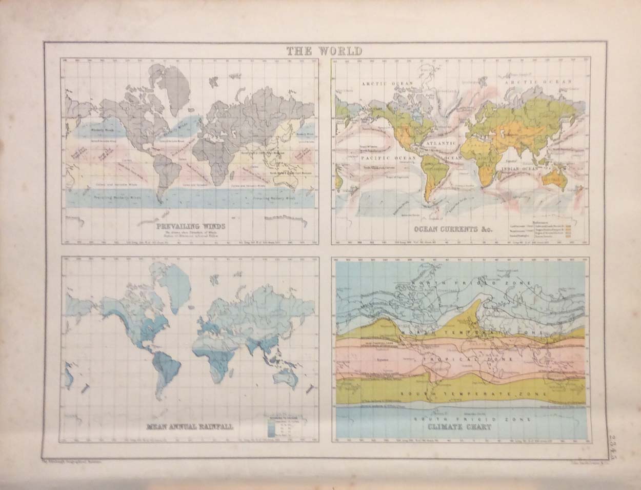 The World Antique Map circa 1890