
Sale!

Antique Map New South Wales 1890’s
$ 41.12
Antique colour map of New South Wales. Map shows the counties within NSW with railway lines and lines that where in progress at the time. The map is in very good condition for age, very clear and vibrant with good margins for framing, paper will show light ageing. Map of Queensland on the reverse. The map was originally published as part of Collins Complete Atlas and Gazetteer of the World published in the late 1890’s. Population data from the gazetteer would date the maps circa 1895 to 1897 period. The map measures 23 by 30 cm’s with the overall paper size of 27 by 34 cm’s

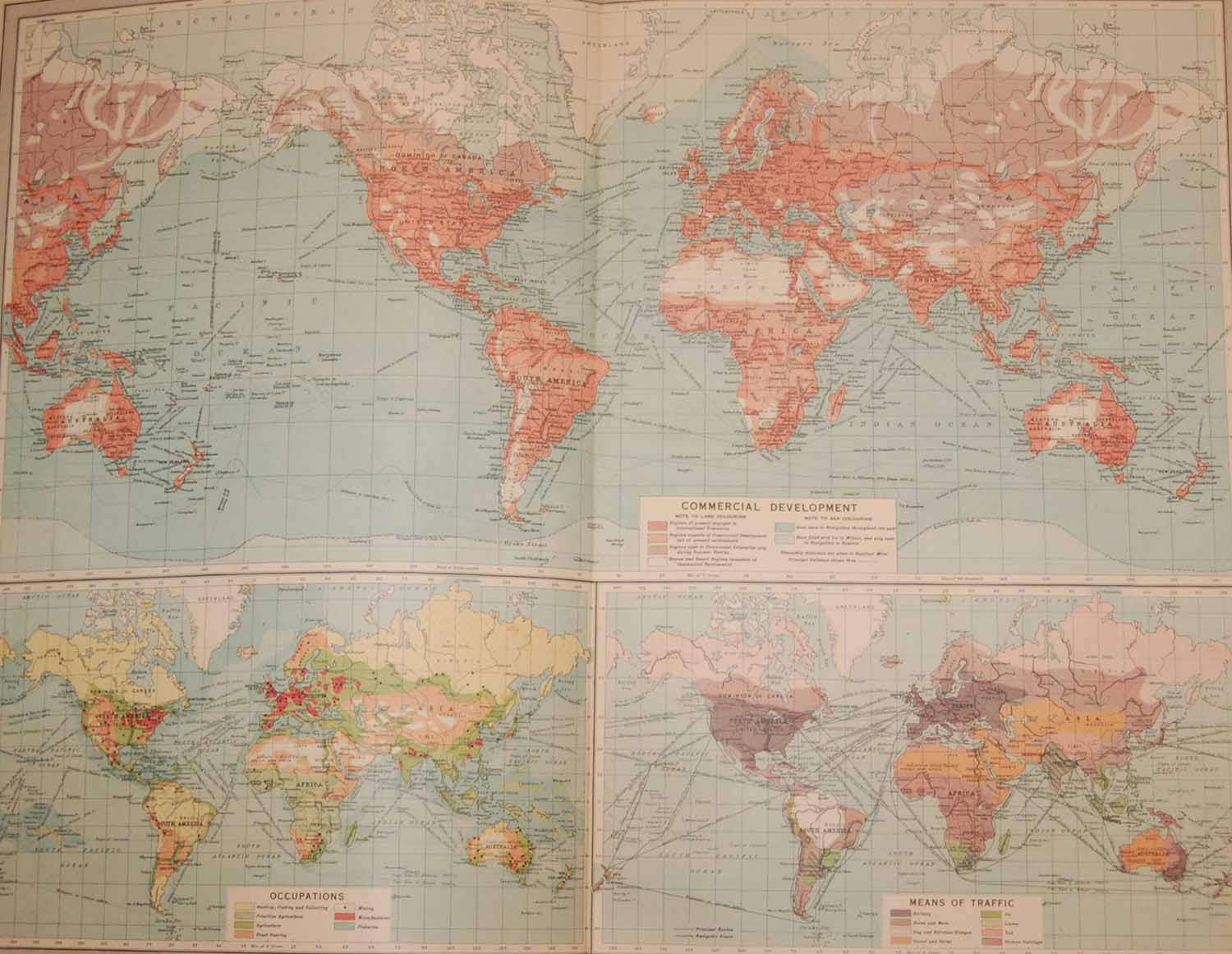 World Commerce Map 1922
 1887 Antique Map Map of World Transport & Ocean Currents
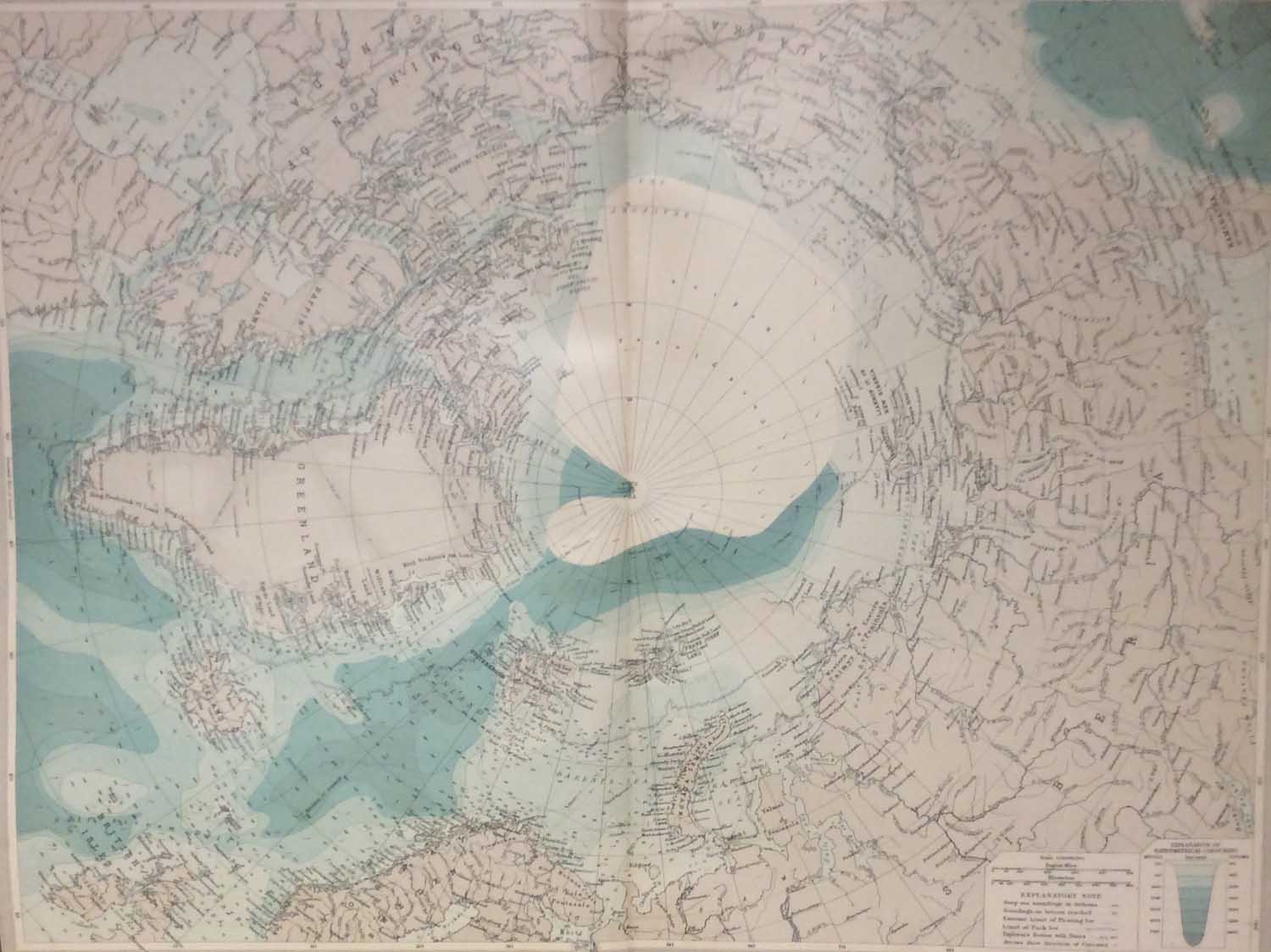
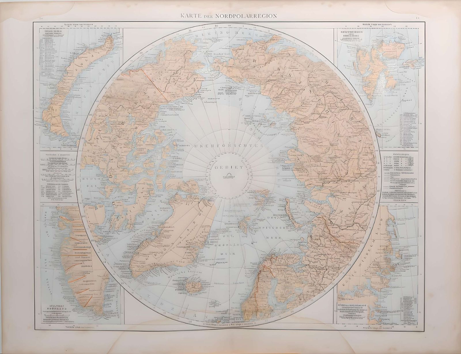 1887 Antique Map North Pole Region
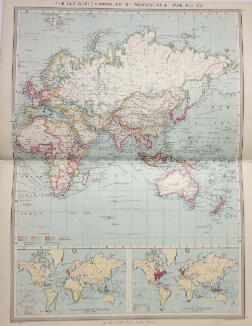 The Old World Showing British Possessions 1907
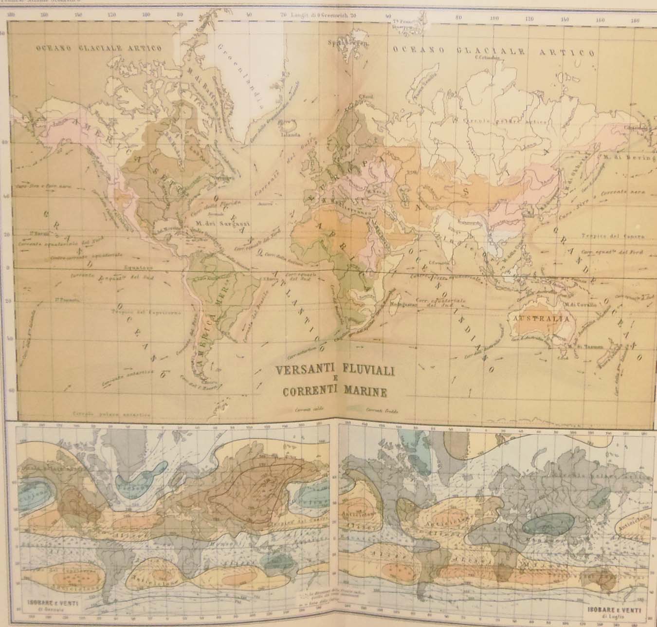 Antique Map World Marine Currents circa 1900
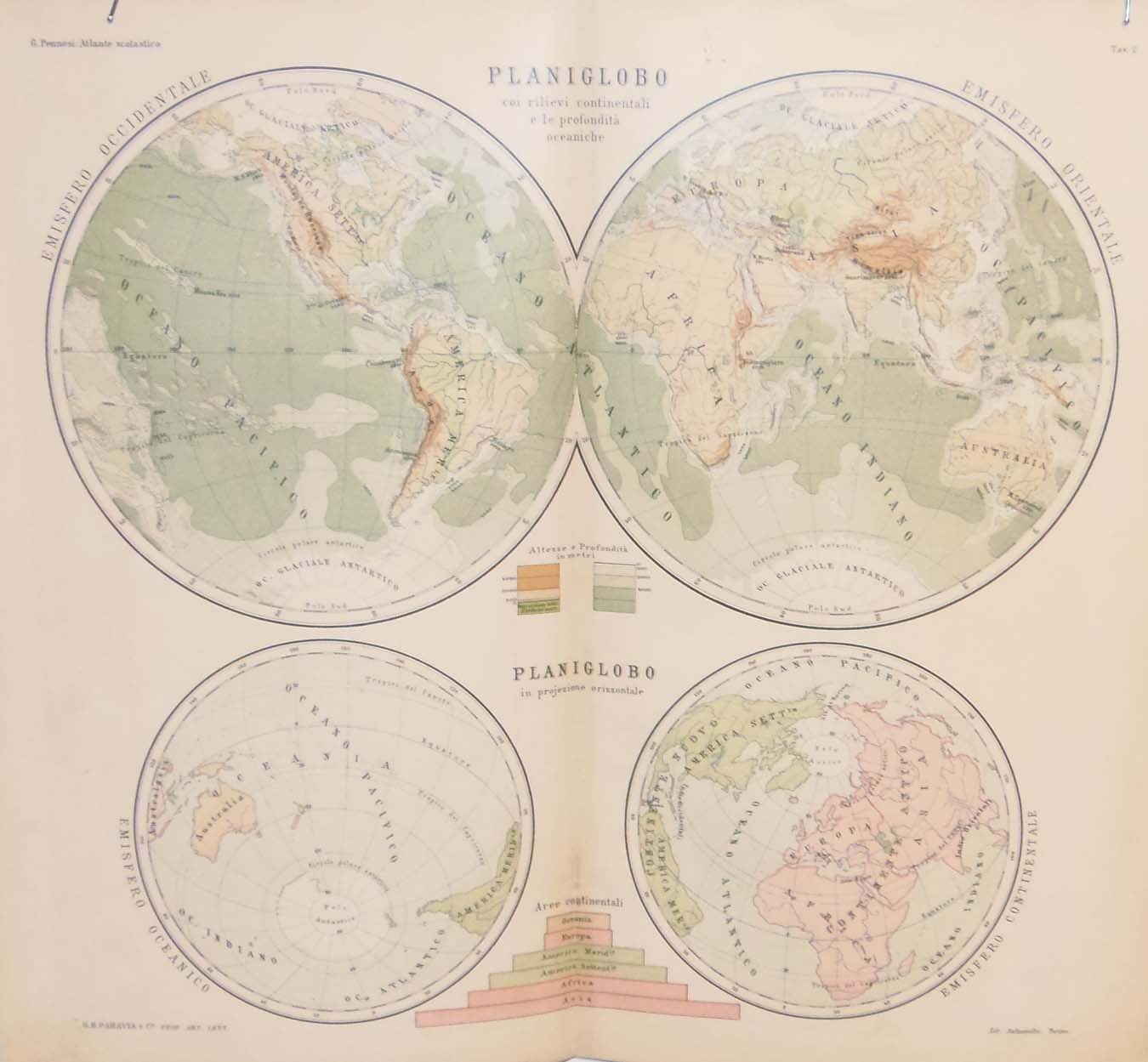 Antique Map World Hemispheres circa 1900