
Sale!

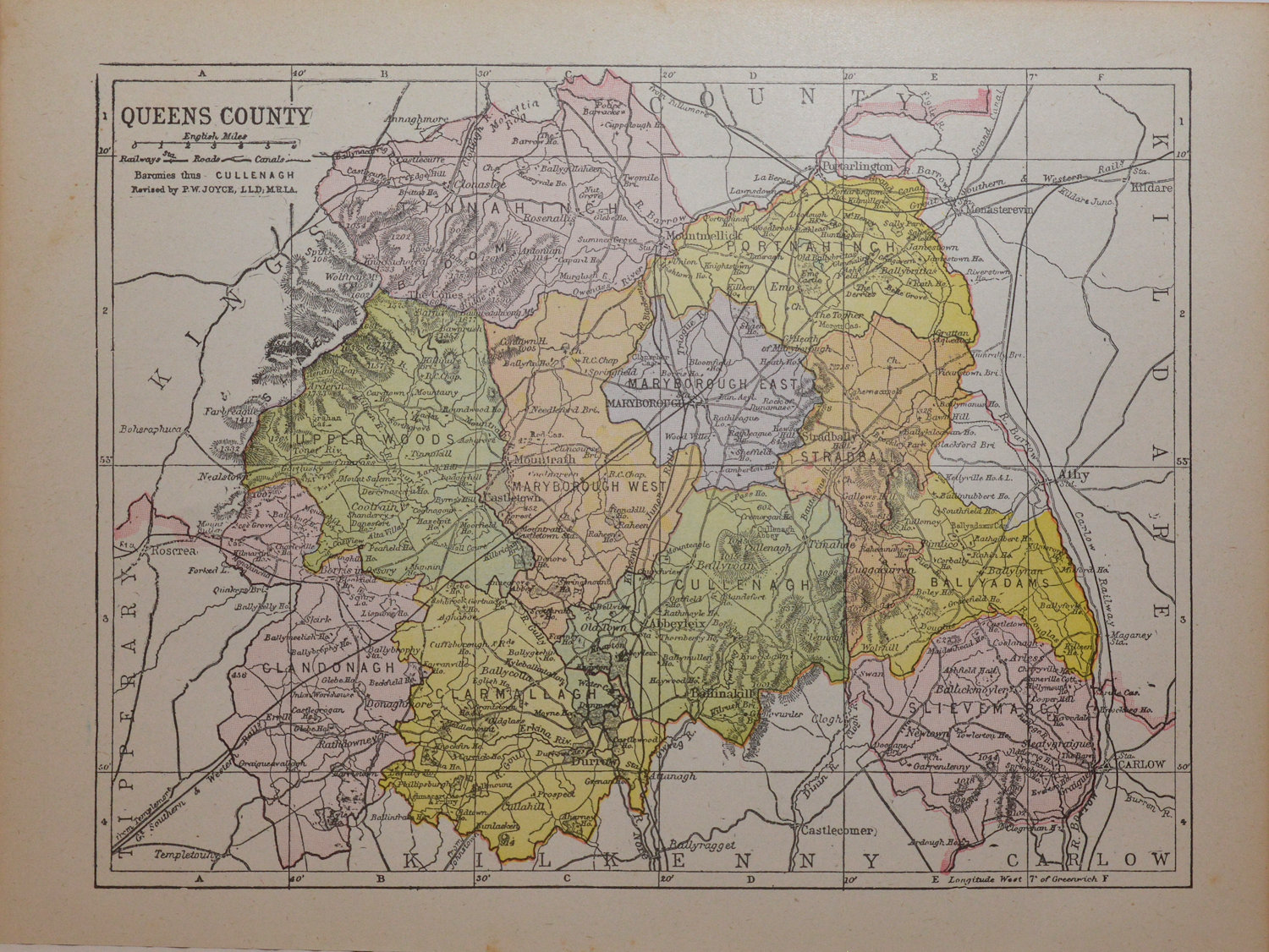
1881 Antique Colour Map of The County of Laois
$ 40.14
Antique colour map of the County of Laois, titled Queen’s County on map, printed in 1881. The map has been printed on paper and was released as a fold out map. It was printed in 1881 by George Philips in London with the map constructed by John Bartholomew and edited by P. W. Joyce. Condition wise the map is in very good condition for it’s age, it is a fold out map so fold lines are present, paper will show ageing, bumping at bottom paper not affecting map, please see pictures. The map is 8 by 6 inches. These maps have paper spines at the back which should be left intact when framing.
 Kildare 1837 Antique Map Including Baronies
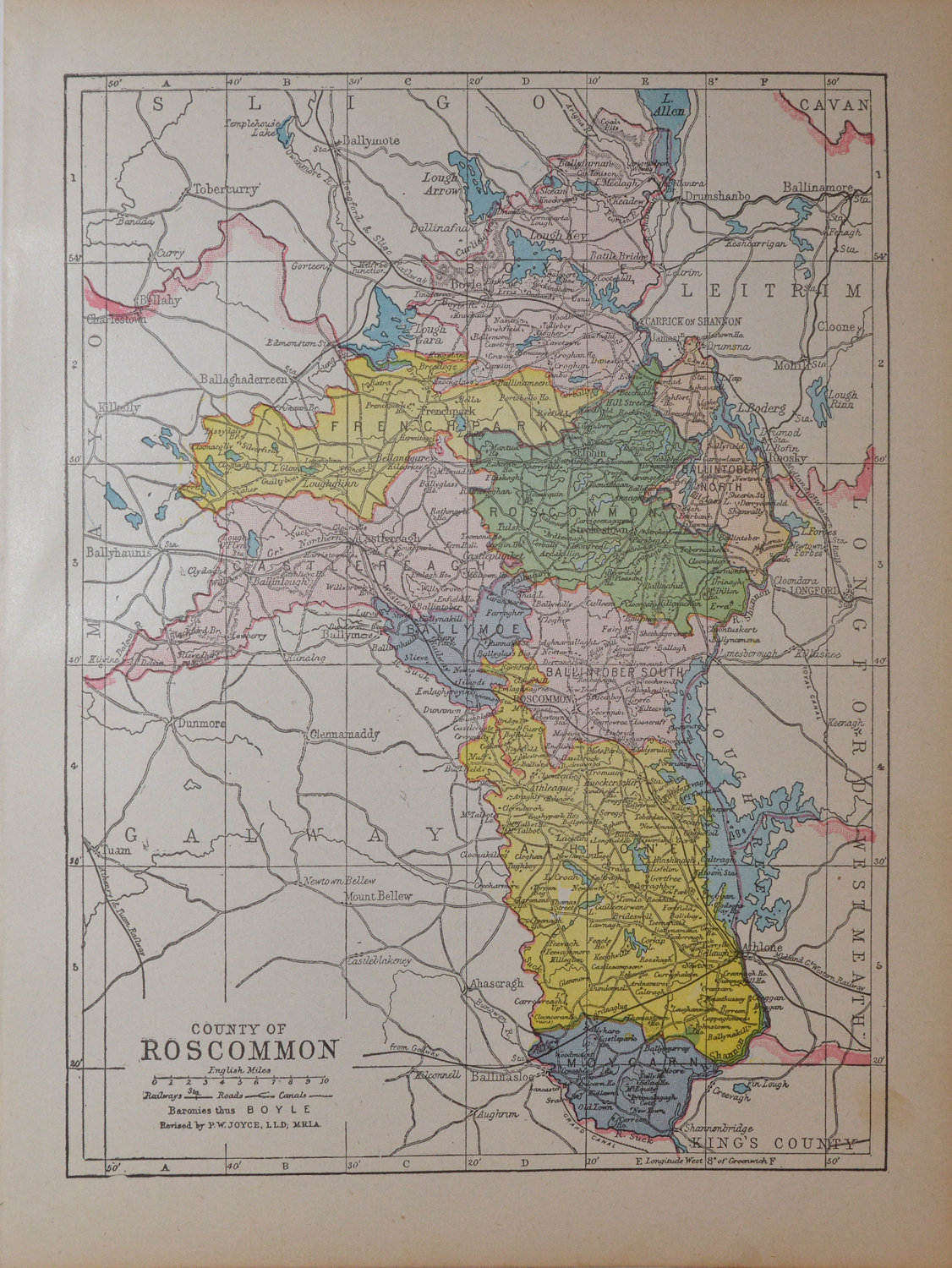 County Roscommon 1905 Antique Map
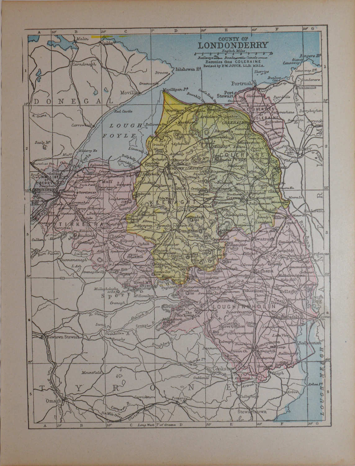 Derry – Londonderry 1905 Antique Map
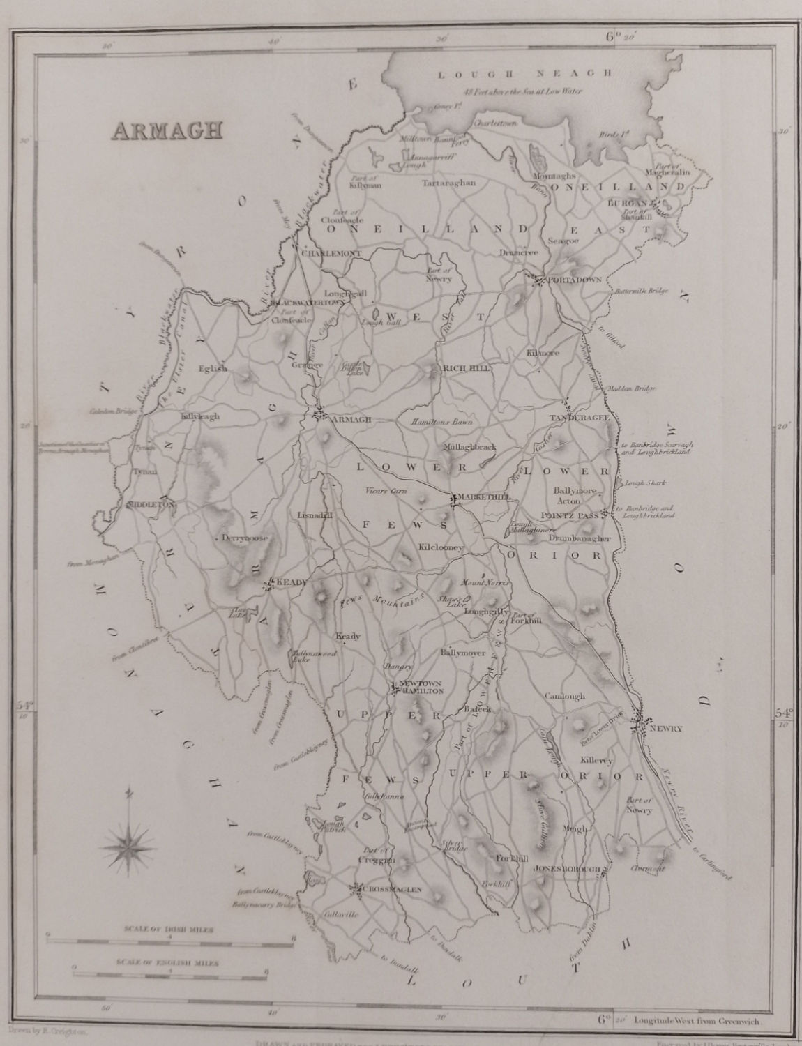 Armagh 1837 Antique Map Including Baronies
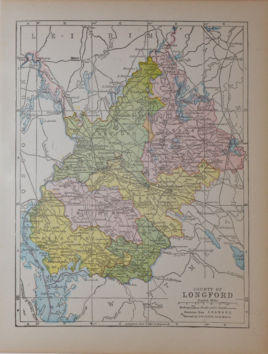 County Longford 1905 Antique Map
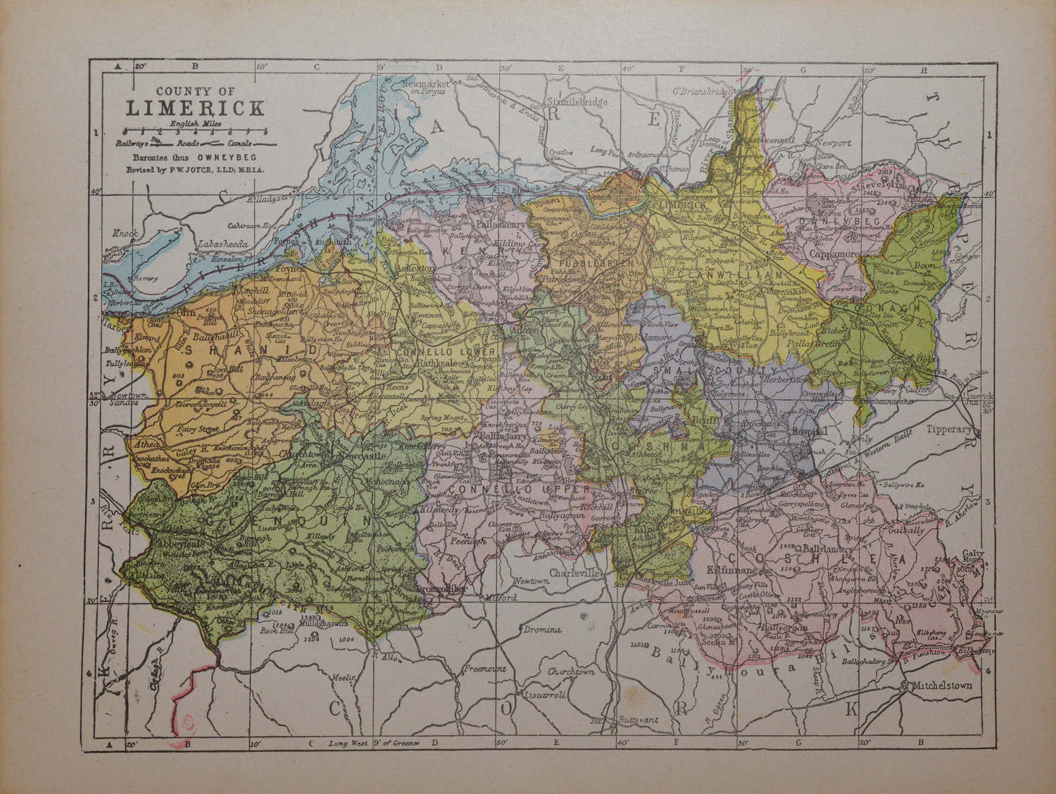 County Limerick 1905 Antique Map